
-

100 kart på vei ut til Bokandleren på Tofte ?
•
Fornøyd med disse “inspirasjonskartene”. Neste versjon blir uten bilder og kartnåler og det vil si: rene turkart ?
-
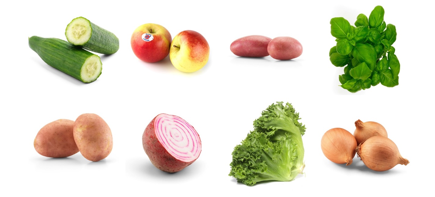
Happy food (I have tried it, it works) (Motivation? – the last point is “drink wine!” )
•
Food and Mood Felice Jacket, – she is Professor of Nutrition and Epidemiological Psychiatry and Head of the Food and Mood Center at Deakin University in Melbourne. Jacka is considered a world-leading expert on how food affects both everyday mood swings and serious mental illnesses. She is also a leader…
-

Rondane 2020 (lets go!) (literally ) #hiking #Rondane
•
Looking on the path from Sjusjøen/Hornsjøen to Rondane. 110 Km og path in nature and often on high ground (mountain). 8-10 cabins (DNT / Inatur) between the two destinations. 800-1000 tent spots…. The exit in the end is Otta where the train goes back to the tiger city ( Oslo…
-

Ytre Hvaler Nasjonalpark
•
Ny dag med Oslofjordens Friluftsråd og i dag for: Ytre Hvaler nasjonalpark: En norsk nasjonalpark som ligger i kyst– og skjærgårdslandskapet i Østfold. Parken ble opprettet 26. juni 2009, for å «bevare et egenartet, stort og relativt urørt naturområde ved kysten i Sørøst-Norge, bevare et undersjøisk landskap med variert bunntopografi,…
-
-


