@heidenstrom

  • Me
  • Book projects
  • Speaker
  • Expeditions
    • A 320 km walk for the Red cross
    • Cycling Norway – South Africa, 23.000 KM for The Shirt
    • www.theshirt.no
    • SUP Paddling; Swiss Basel, 3370 KM to the Black Sea
    • Cycling Norway North/South/East, 3300 KM for The Shirt
  • Sjusjøen

Inter active maps ( a 35 Km hike to Harstad)

04/10/201327/10/2013 Bjørn Heidenstrøm My life

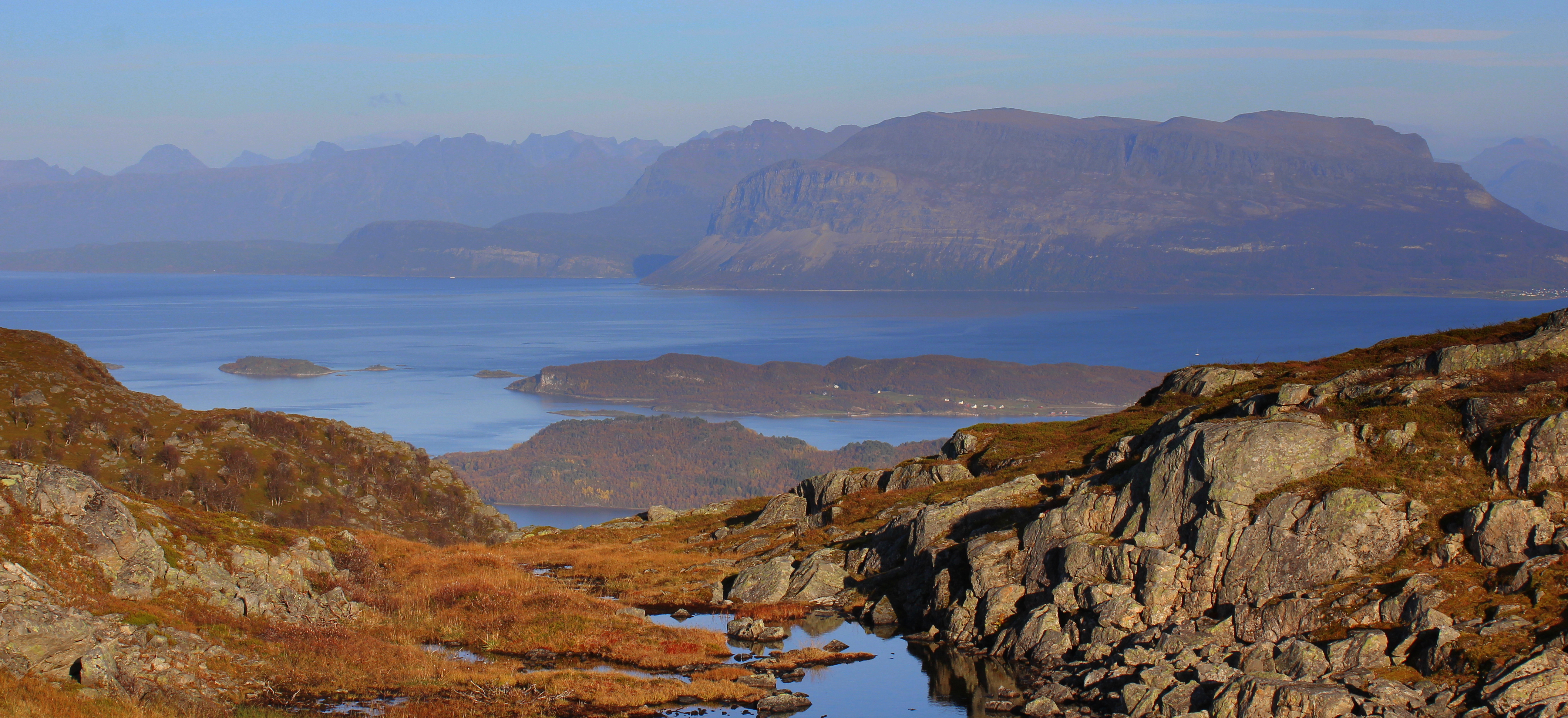
Hiking 35 Km to Harstad klick the map to see track and photos via EveryTrail
EveryTrail –

See other maps on my outdoor company www.ekspode.com  – or 62 photos from the hike here.

This is one of them that gives a lead about this hike:

Bjorn @Heidenstrom on Twitter/Instagram
Bjørn Heidenstrøm

@heidenstrom on Twitter/Instagram

Post navigation

The Harstad hike movie
En gåtur med sekk fra Grønsand til Filtvet

Follow?

wwww.twitter.com/heidenstrom

www.instagram.com/heidenstrom

Follow?

wwww.twitter.com/heidenstrom

www.instagram.com/heidenstrom

@heidenstrom Theme by Colorlib Powered by WordPress